


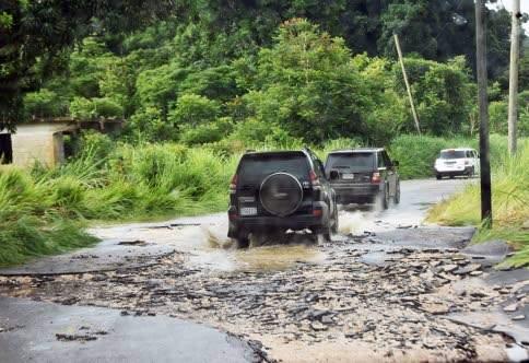
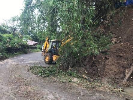
Heavy rainfall in Jamaica (15-19/05/2017): event preliminary briefing
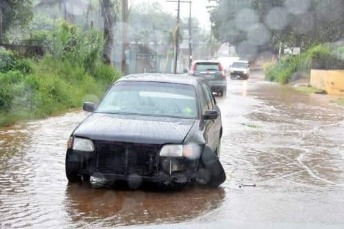
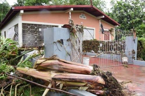
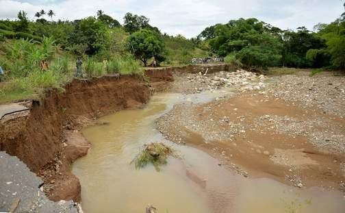
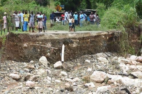
In mid-May2017, the Meteorological Service of Jamaica indicated that a trough west of Jamaica would be influencing weather conditions across the island. Satellite imagery and radar reports projected light, moderate and intense rains in sections of all parishes, especially in the south. Therefore, flash floods were possible in low-lying and flood prone areas such as St. Mary, Portland, St. Thomas, Kingston, St. Andrew, St. Catherine, Clarendon, Manchester, St. Elizabeth and Westmoreland.
An event report was generated by RED – Risk Engineering + Design, part of the CCRIF Risk Management Specialist Team, assessing the event and corresponding damages, for Jamaica: