Exposure datasets
We produce and provide case-specific databases of exposure (population, buildings, etc.) at several levels of spatial and administrative aggregation.
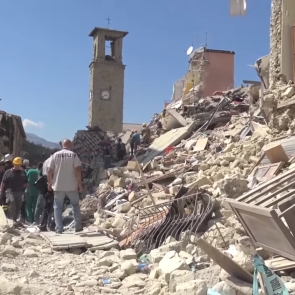
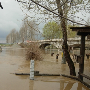
For every type of disaster, such as floods, droughts and earthquakes, we offer the following services:
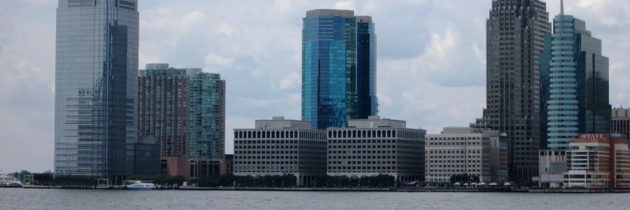
Exposure databases quantify the value of the assets exposed to a specific hazard (or to a set of hazards) for a given region, in terms of population, residential buildings/dwellings (their spatial location, geometry, height or other characteristics), industrial assets, infrastructure, other properties, etc., disaggregated at various levels (e.g., from country level down to building level).
RED can produce customised exposure datasets, based both on existing datastes and collecting new data, employing remote sensing technique and also taking advantage of open source building information.